C2SMART Welcomes Visiting Summer Students
C2SMART has several new faces for the summer, including four undergraduate researchers and four high school students through the ARISE program. Professor Chow and Ph.D. student Yueshuai He will be working with the undergraduate researchers and two of the ARISE students, and Abdullah Kurkcu, a research associate in Dr. Ozbay’s lab, will be mentoring the other two ARISE students.
Over the course of the summer, the ARISE students will work on the following research projects, culminating in a final presentation.
ARISE Students: Doris Chen and Tabassum Fabiha
Mentor: Abdullah Kurkcu
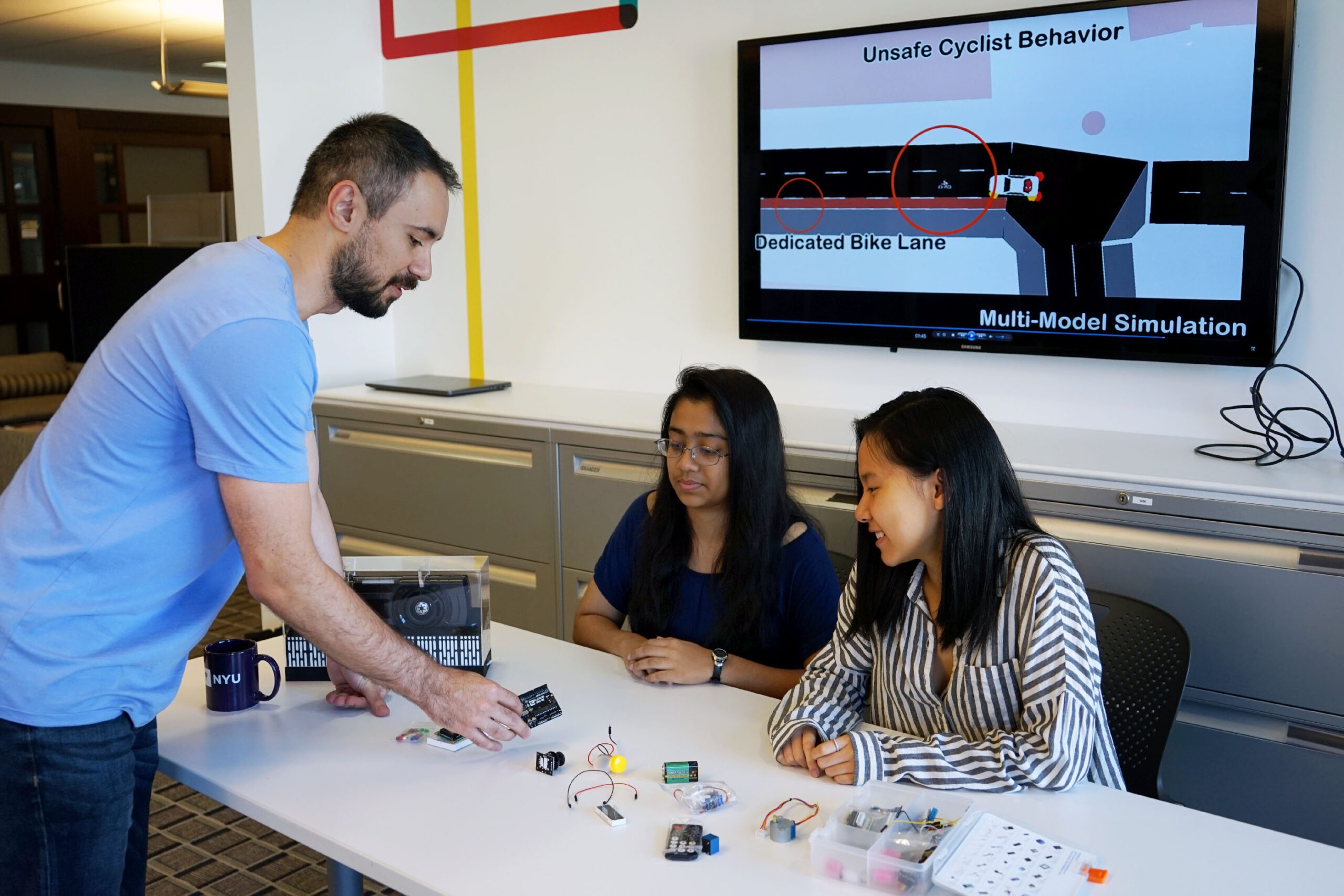
In densely populated urban areas, a large contributing factor to traffic congestion and travel delays is parking. This study aims to improve parking efficiency on the streets by developing laser based portable sensors that can be attached to vehicles or bicycles and collect information about the roadside. Algorithms will be implemented using Python and R to automatically detect empty spaces. The collected points are then mapped through a geographic information system (GIS). Simulations will be run before the deployment of the sensors and will be used to check the accuracy and precision of the data collected. In addition to detecting roadside parking spaces, this proposed system will also identify instances of double parking, information on bike lanes and other roadside data.
ARISE Student: Annie Eng
Mentor: Yueshuai He
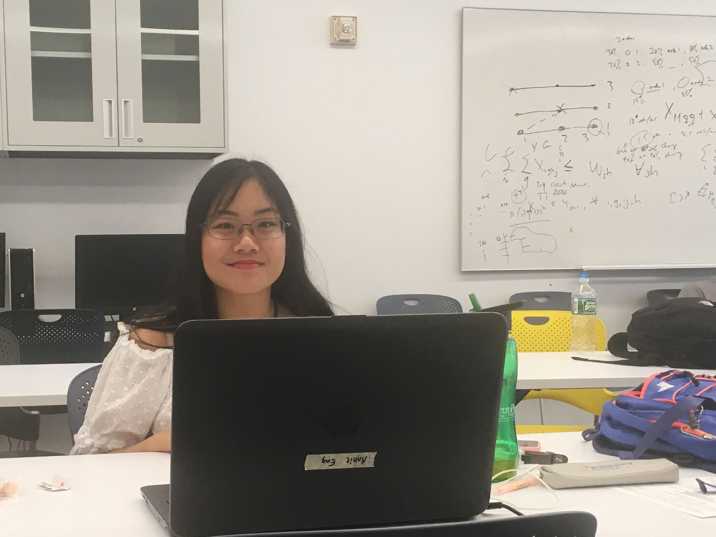
Big data has transformed the transportation industry to make daily commuting efficient with its advances in sensors, telecommunications, safety and etc. As the visualization of big data in transportation becomes increasingly significant and prominent nowadays, it effectively analyzes challenges and setbacks such as traffic volume and congestion, road infrastructure, asset management, and logistics and supply chain management. With the contribution of the free and open source Quantum Geographic Information System (QGIS) software, this allows users to analyze and edit spatial information, as well as formatting and exporting graphical maps. We’ll be specifically examining data drawn from Wuhan, China where Global Positioning System (GPS) trajectory data can be determined from locations of low and high traffic and monitoring geospatial data. This research will help us gain descriptive stats on Wuhan’s taxi data and observe the route selection behaviors of taxi drivers.
ARISE Student: Chengyuan Wang
Mentor: Yueshuai He
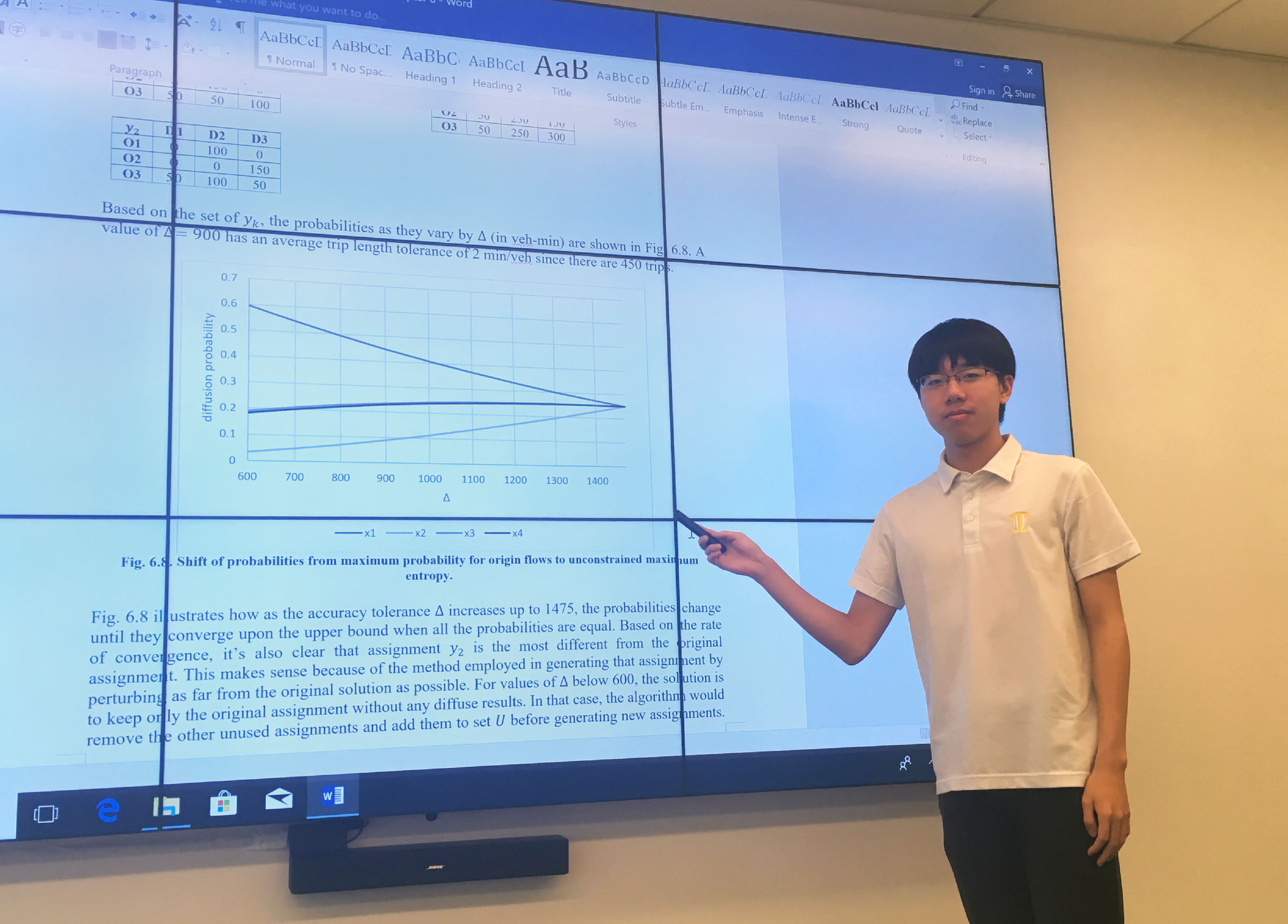
In the era of smart city, data sharing between private operators and public agencies is becoming more important than ever before. New York City takes a lead in data sharing, for example, the NYC Open Data shared lots of useful data to public. However, it is still not enough. Due to privacy concerns, private operators are reluctant to share their data, which leads to an obstacle to smart cities. To overcome this obstacle, we are trying to seek a way to preserve the privacy of data and at the same time provide enough data accuracy. My project deals with operator privacy by proposing a method, involving diffusion of the data objects to mimic the anonymity objective. The method can provide messy or biased data that lessens the risk of the data being inferred. Through the research, the method will be applied to a real dataset to evaluate whether it will be successful.


